
The geography of Seattle presents significant challenges for public transportation. Nestled between Puget Sound and Lake Washington, the city is surrounded by mountains and water and built on hilly terrain. Due in part to the region’s seismic history, certain areas have limited transit connections or are only accessible by boat. Seattle proper has a population of 755,000, but the metro area, including parts of King, Pierce, and Snohomish counties, holds more than 4 million.
To adequately serve this population, Seattle’s transit system must navigate these geological challenges to connect the constrained urban core to the rest of the region. Nine different transit agencies operating in the four-county region provide a range of transit options to connect the region, and the key to making this whole system work seamlessly from a rider perspective is the Orca Card, a single method of payment that riders can use across all modes of public transit in the region.
The ORCA Card
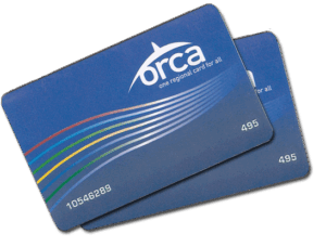
Orca cards use tap-to pay technology, and each transit agency sets their own rates. The King County Metro allows riders to pay on the bus, and the Bus Rapid
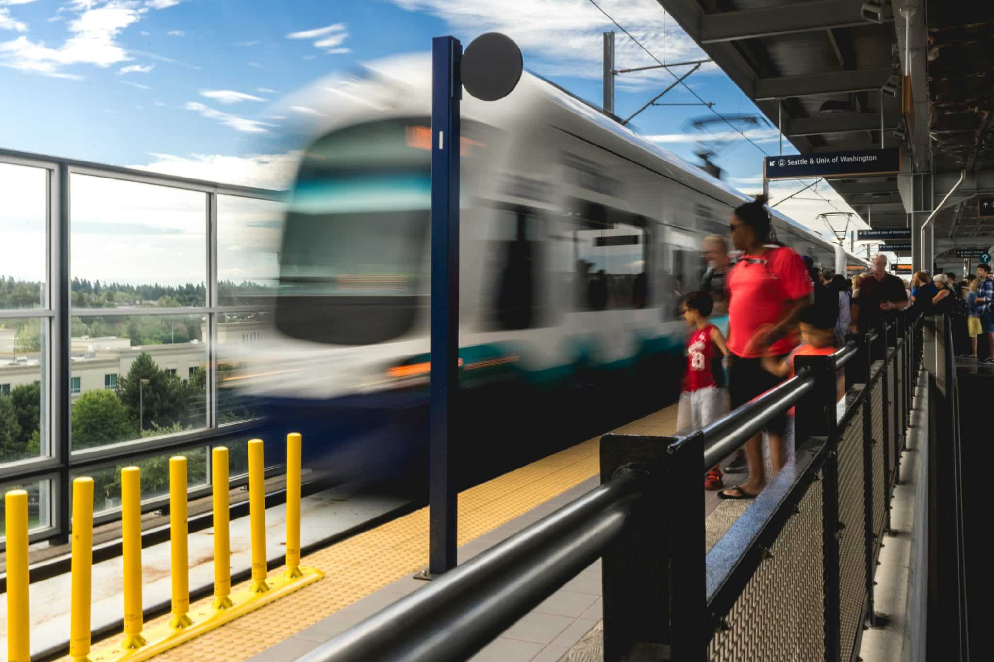
Transit (BRT) routes allow for payment prior to entry. The Link (light rail) has tap in hubs at each station, and flat rates for all rides. The Sounder commuter rail has users tap in and tap out, as their rates vary based on distance traveled.
As with many transit agencies, reduced fares are available for seniors, low-income, and disabled patrons. But one unique feature is the Youth Orca Card, for children aged 6 to 18. Since 2022, youth have been able to ride on any transit that accepts an Orca Card for free, when using one to pay. Additionally, companies can buy passes in bulk to provide benefits to their employees.
The System
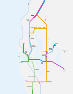
Sound Transit operates the light and regional rail lines in and around the city. The light rail line is called the Link, and the backbone of its network is the 1 Line, which runs from Lynnwood (north of Seattle) to Angel Lake, which is just south of Seattle-Tacoma International Airport. The 2 Line, which opened in April 2024, provides transportation in and around the City of Bellevue, which is east of Lake Washington, opposite Seattle.
Eventually, Sound Transit will run a connected light rail network across the region. Another line will connect Ballard to downtown, and the West Seattle extension will create an easy method of transportation through a historically congested corridor. The 1 Link also has plans to extend further north to Everett, which is seen as the northernmost point of the metro region, and there are plans for the 2 Line to connect to center city, as well as extend further into Redmond. Lastly, Sound Transit wants to create a third line connecting Issaquah to downtown Bellevue and South Kirkland, as well as create long BRT (Bus Rapid Transit) routes to connect Seattle suburbs of Lynnwood, Burien, Shoreline, Kirkwood, Bellevue, Renton, and South Renton.
While the city continues to expand the light rail network, the Seattle bus system connects many other parts of the region. The system includes several BRT routes that facilitate travel across the city’s hilly terrain, which can make both walking and cycling a challenge for all residents. Additionally, the King County Metro, which operates Seattle bus routes, also runs a seasonal trail bus, which takes riders from the city to popular trailheads.
Center City provides even more options for residents and visitors. The Monorail connects the shopping district to the Space Needle, which allows for fast and unobstructed travel above vehicular traffic. A handful of streetcars connect Downtown to adjacent neighborhoods like South Lake Union and Capitol Hill.
Beyond the city limits, the Sounder Train offers commuter rail service to and from Seattle either north through Everett or south through Tacoma, with connections to several Amtrak routes.
Finally, the practical yet iconic ferry boats connect Seattle and the rest of the mainland to the other side of the Puget Sound, including Bainbridge Island, Vashon Island, and more. Operated by Washington State Ferries and Kitsap Transit, this system meets the challenge provided by the region’s geography.
With all these transit methods, the Orca Card allows for an ease of use that doesn’t always exist in complex systems. When a system is easier to use, there are fewer barriers to use, and ridership increases. As ridership increases, oftentimes so do funds, safety, and public opinion, creating a positive feedback loop that allows for expansion. Expansion, whether through infrastructure, frequency, or decreased rider cost, means that system use increases while car dependence decreases, generating even more benefits.
While many transit systems have multiple modes of travel, Seattle is a hub out of which the region connects. Seattle has bike lanes and bus lanes, but for a long time, the highway (I-5) running up the coast of the Puget Sound has been a primary corridor of travel. With the existing and expanding transit options, the city and the region help all types of users move around, whether for work, life, or leisure.

Grace Hanoian | [email protected]
Grace Hanoian is a Business Development and Marketing Associate at Econsult Solutions, where she supports the marketing and business development team by assisting with proposals, events, and social media. Additionally, Grace has experience working on political campaigns both with communications and fundraising, as well as in state government.